
 EN
EN
 ar
ar bg
bg hr
hr cs
cs da
da nl
nl fi
fi fr
fr de
de el
el hi
hi it
it ko
ko no
no pl
pl pt
pt ro
ro ru
ru es
es sv
sv tl
tl iw
iw id
id lv
lv lt
lt sr
sr sk
sk sl
sl uk
uk vi
vi et
et hu
hu th
th tr
tr fa
fa ms
ms hy
hy ka
ka ur
ur bn
bn mn
mn ta
ta kk
kk uz
uz ku
ku
hydrostatic level sensor
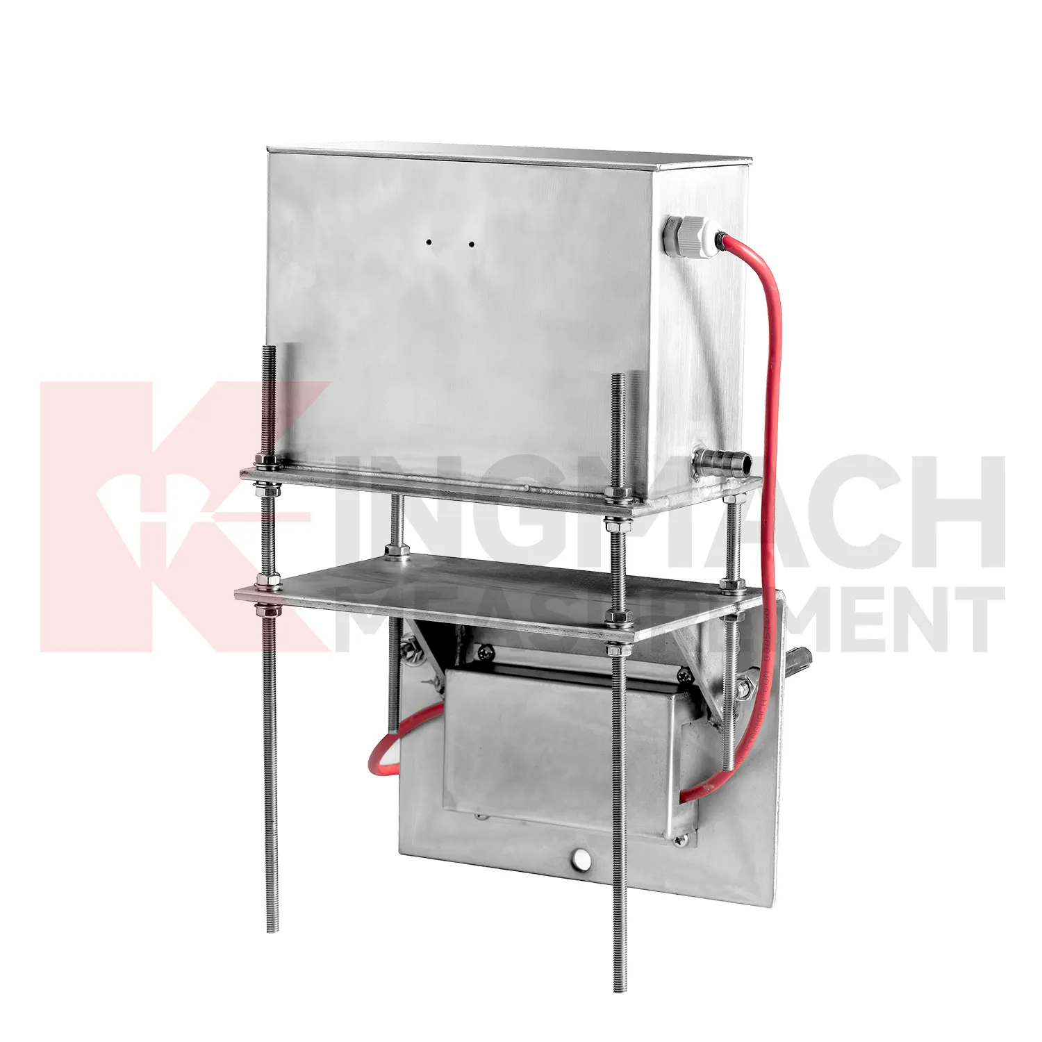
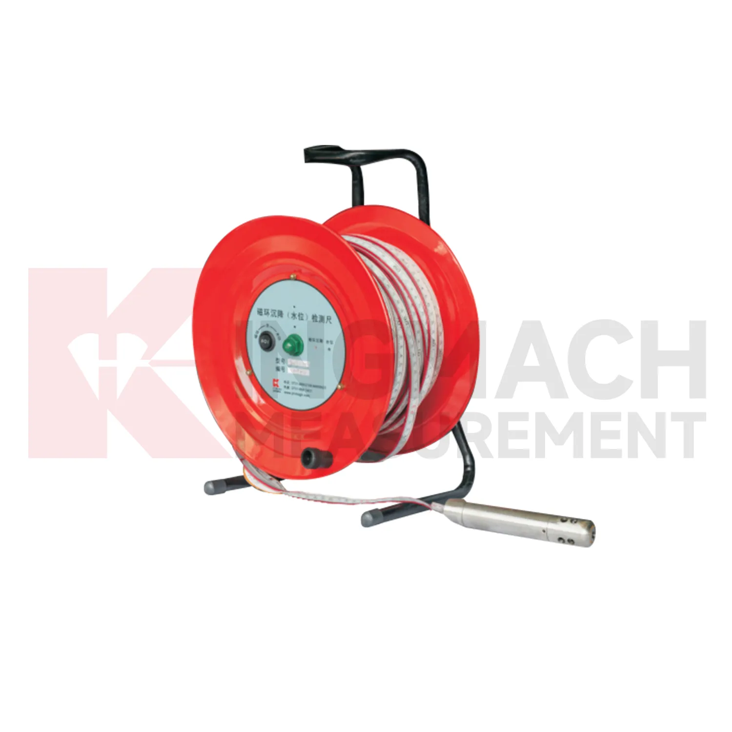
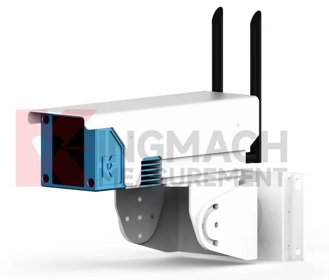
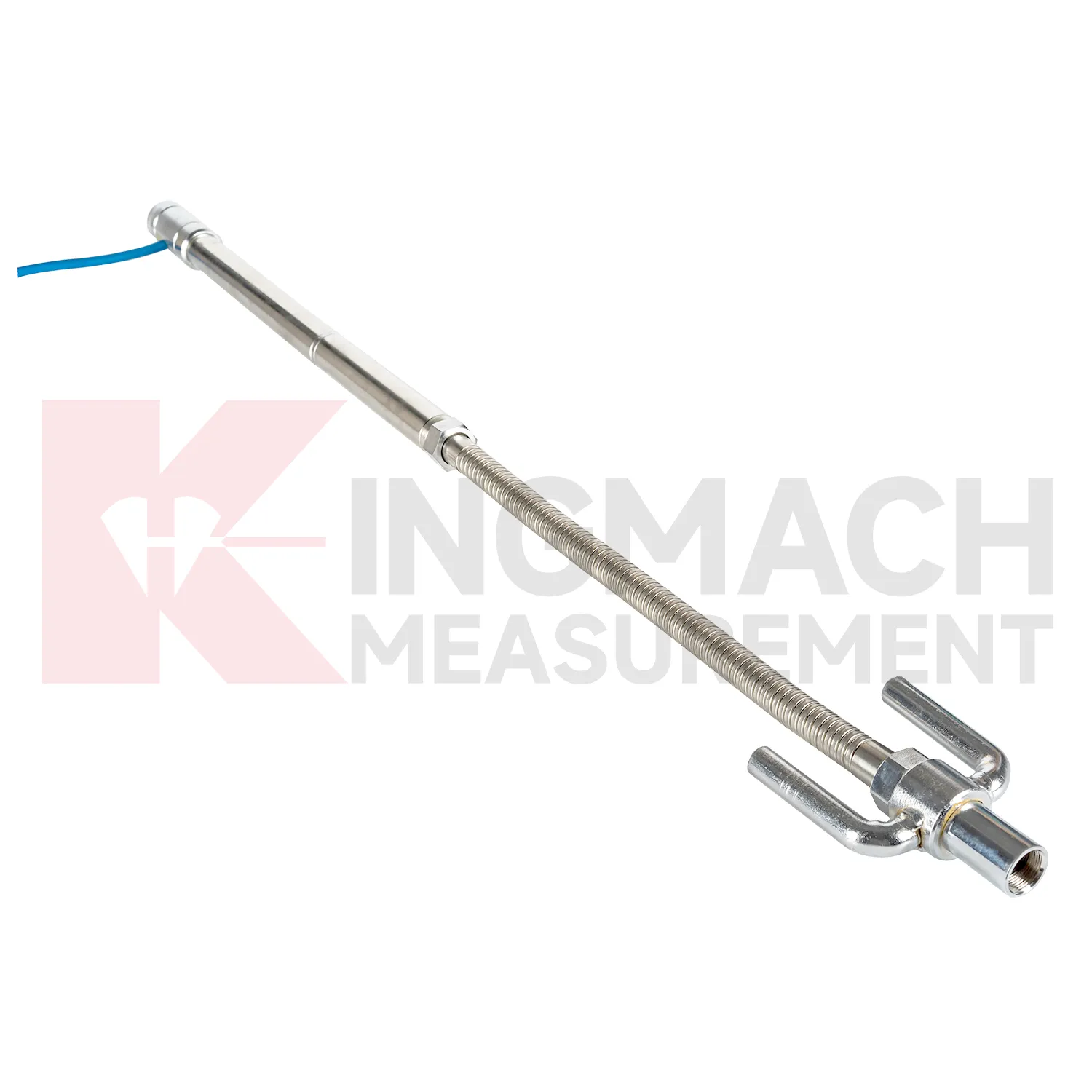
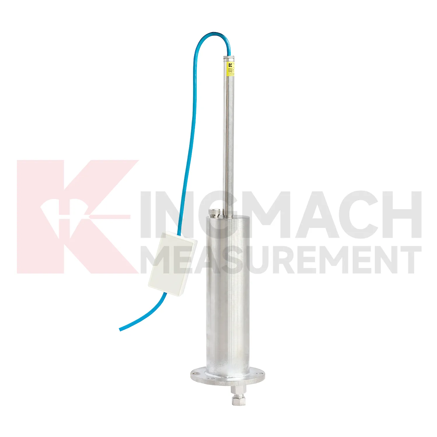
Kingmach hydrostatic level sensor include the JMDL-47XXAT smart single-point settlement gauge for buried positions where a defined vertical movement must be followed through construction. It is used for subgrade settlement, embankment heave, base uplift in deep foundation pits, tunnel bottom uplift, dyke compression deformation, and pile foundation settlement. Published range options are 100 mm, 200 mm, 300 mm, and 400 mm. Resolution is 0.01 mm on 100 mm and 200 mm models, and 0.1 mm on 300 mm and 400 mm models. Gauge lengths cover 760 mm, 1240 mm, 1720 mm, and 2210 mm. The assembly includes a settlement plate, electrical displacement sensor, measuring rod with metal flexible conduit, anchor head, extension rod, and bottom anchor head. Its side-exit cable design helps reduce interference during pavement compaction. The product is strongest when the installation depth, plate location, cable route, fill layer, and first stable reading are documented before the buried parts disappear under later work.
Application of hydrostatic level sensor
In road and railway subgrade work, hydrostatic level sensor help track how fill, soft ground, and pile-net foundations behave after each construction stage. The risk is not only final settlement; engineers also need to know whether movement slows after compaction, continues after traffic loading, or restarts after rainfall. Kingmach JMDL-47XXAT can measure in-situ subgrade settlement and embankment heave with 100 mm, 200 mm, 300 mm, and 400 mm ranges. For longer pavement profiles, JMYC-62XXAD wide-range differential pressure hydrostatic sensors can compare several points against a reference, with 500 mm to 4000 mm ranges and 0.1 mm resolution. A practical subgrade monitoring plan records fill height, compaction stage, traffic opening date, groundwater condition, and nearby deformation readings. This helps maintenance teams decide whether the roadbed is consolidating normally or needs inspection before track or pavement defects appear. The monitoring team should keep point location, reference condition, construction timing, groundwater or water level notes, and nearby sensor behavior in one review file so the settlement curve can be interpreted without guesswork during later maintenance. The monitoring team should keep point location, reference condition, construction timing, groundwater or water level notes, and nearby sensor behavior in one review file so the settlement curve can be interpreted without guesswork during later maintenance.

The future of hydrostatic level sensor
The future of hydrostatic level sensor will include cleaner digital handover records. Settlement monitoring often lasts longer than the construction team stays on site, so owners need more than a table of values. A useful handover file should include model, serial number, range, reference point, tube route, ring depth, baseline, installation photo, cable tag, borehole number, and first stable reading. Kingmach products such as JMDL-47XXAT and JMCJ-1003/1005 especially benefit from this because embedded rods, magnetic rings, anchors, and borehole readings may be hard to inspect later. When that information is stored with the curve, maintenance teams can understand why a point was installed and how its settlement should be interpreted years later. Future records should make the instrument history as visible as the measurement itself, so old readings can still be trusted after staff changes, repairs, and new construction stages.
Care & Maintenance of hydrostatic level sensor
Remote acquisition for hydrostatic level sensor needs commissioning checks across the whole data chain. Verify RS485 wiring, bus address, power supply, channel name, units, reference point, and platform display before routine collection begins. For Kingmach hydrostatic sensors and automated settlement systems, move through each channel and confirm that the displayed point matches the physical location. Label cabinets, cables, tubes, and sensor numbers clearly. During operation, data gaps should be compared with power outages, communication faults, storms, cabinet work, or platform changes. If a sensor is replaced, record the old serial number, new serial number, old baseline, new baseline, and reason for replacement. Remote data is only trustworthy when the physical point and digital channel stay aligned. The record should include who inspected the point, what changed on site, and whether nearby instruments showed the same trend, so the maintenance team can separate sensor trouble from real settlement. The record should include who inspected the point, what changed on site, and whether nearby instruments showed the same trend, so the maintenance team can separate sensor trouble from real settlement.
Kingmach hydrostatic level sensor
For dams and water-related structures, hydrostatic level sensor must be read together with hydraulic conditions. Dam settlement, bridge deflection near water, dyke compression, and foundation deformation may respond to reservoir level, seepage, rainfall, temperature, and seasonal operation. Kingmach JMQJ-62XXADT and JMDL-62XXADT hydrostatic sensors can support multi-point vertical deformation monitoring, while JMCJ-1003/1005 can add groundwater level and layered settlement information. The field record should identify reference point, tube layout, cabinet position, water level, and inspection date. A reading after heavy rain has a different meaning from the same reading during a dry operating period. Settlement data becomes stronger when it is tied to the water story around the structure. The practical aim is a traceable vertical movement history that can support construction control, maintenance planning, and risk review without rewriting the site story. The practical aim is a traceable vertical movement history that can support construction control, maintenance planning, and risk review without rewriting the site story.
FAQ
Q: Which hydrostatic level sensor fit hydrostatic leveling?
A: JMDL-62XXADT, JMQJ-62XXADT, and JMYC-62XXAD are used for hydrostatic or differential pressure settlement monitoring.
Q: What resolution is available?
A: JMDL-62XXADT and JMQJ-62XXADT list 0.01 mm resolution, while JMYC-62XXAD lists 0.1 mm resolution for wider ranges.
Q: Where are micro range hydrostatic sensors used?
A: They are used for dam settlement, bridge deflection, slope stability, building settlement, tunnel settlement, and subgrade settlement.
Q: What protection rating is listed for JMQJ-62XXADT?
A: The product information lists IP68 protection.
Q: What can damage hydrostatic readings?
A: Leaking tubes, air pockets, poor reference control, temperature effects, cable faults, and disturbed sensor elevations can all affect the record.
Reviews
Matthew Garcia
Instrumentation cables are durable and perform well even in harsh environments. Will definitely order again.
Joshua Clark
We ordered a full monitoring solution including sensors and data loggers. Everything works seamlessly together. Great supplier!
Latest Inquiries
To protect the privacy of our buyers, only public service email domains like Gmail, Yahoo, and MSN will be displayed. Additionally, only a limited portion of the inquiry content will be shown.
Evelyn***@gmail.comSouth Africa
Hi, we are a contractor working on tunnel construction and need settlement sensors and displacement ...
Charlotte***@gmail.comUnited Arab Emirates
Hi, we require instrumentation cables suitable for harsh environments. Could you advise on specifica...